Devpost
Participate in our public hackathons
Devpost for Teams
Access your company's private hackathons
Grow your developer ecosystem and promote your platform
Drive innovation, collaboration, and retention within your organization
By use case
Blog
Insights into hackathon planning and participation
Customer stories
Inspiration from peers and other industry leaders
Planning guides
Best practices for planning online and in-person hackathons
Webinars & events
Upcoming events and on-demand recordings
Help desk
Common questions and support documentation
Snap a photo to instantly ID plants, earn points for native species 'catches' and invasive species reports, and help build a real-time biodiversity health map for your region.
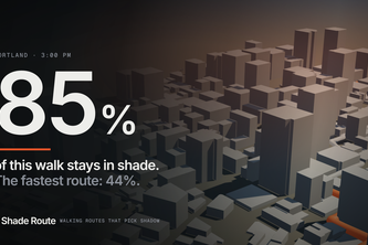
My grandpa walks every day, but in the summer he mostly stops. The sun makes it too much. Shade Route finds the version of the walk that stays in the shade.
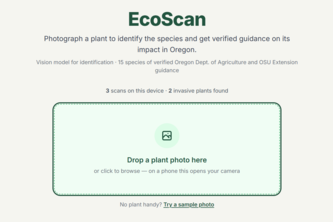
Photograph a plant. Find out if it belongs there, and what to do about it.
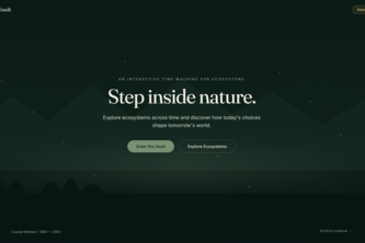
NatureVault, An immersive 3D environmental time machine where users explore diverse ecosystems, biodiversity, travel through history, & experience how human choices can shape the future of our planet.
I don't go outside, because I don't know what to do outside, but what if that wasn't the case, what if there was a tool that helps you find places to touch grass
A gamified daily habit app that turns real nature actions into a streak, an in-app currency, and a virtual garden that grows over real days.
NaturePulse is an AI-powered nature relationship platform helping urban explorers observe, understand, experience, act, measure, and reconnect with local ecosystems.
Turn a mapped coastal site into an execution-ready mangrove restoration plan, species zoning, planting windows, cost estimates, and SOPs in minutes.
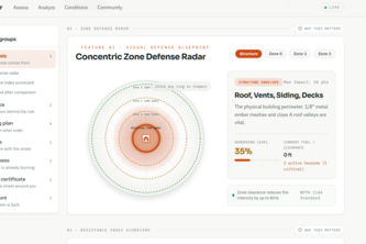
A fire inspector's defensible space walkthrough, from one phone photo. Ember scores your wildfire risk, circles every hazard on your own picture, and ranks the fixes.
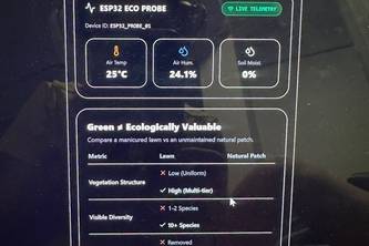
Measuring ecosystem health beyond the surface.
Standard GPS tells you where road traffic is; Path OS tells you where the climate water is. We are shifting navigation from commercial speed to human dignity.
MindPulse is a private, local-first baby sleep companion. It analyzes room sound patterns in browser memory, can optionally play a low-volume synthesized response, and never records or uploads audio.
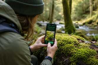
MossMap turns your phone into a nature sensor. Snap a moss or lichen — get instant species ID, a Nature Health score, and add it to a live map tracking ecosystem health across Oregon.
Feel the planet's pulse
Which patch of green near you is actually worth walking to? Canopy pulls real parks from OpenStreetMap, tracks whether going there changes anything for you, and tells you when it can't tell.
AI-verified community waste cleanup and rewards platform — built to help people reconnect with nature and support environmental health.
Turn satellite Earth observation data into active reforestation plans — analyzing forest damage, computing sapling budgets, and connecting local conservation partners in seconds.
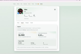
Turn the food you already have into meals, prevent waste, and share surplus with your community.
BioQuest turns exploring nature into a game. Complete real-world quests, snap photos, and let AI verify your discoveries, teach you about nature, and reward you with points.
Six Months to Decode Korean
Turn your small space into a native habitat with plants matched to your conditions and designed to support local pollinators and wildlife.
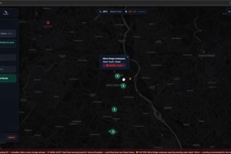
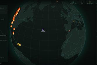
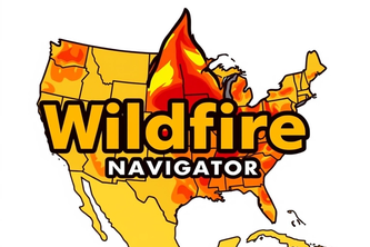
Wildfire Safety Navigator is an app showing real-time heatmaps and danger zones, guiding civilians to shelters safely, optimizing firetruck routes for faster, smarter firefighting during wildfires.
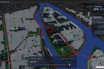
The coolest route is the shadiest one — sun-smart streets for smarter walkers.
1 – 24 of 54